Learn about how other organizations are using MapBuilder to identify trends, monitor change, manage and respond to events and engage with their community.
The MapBuilder template
This is a preview of what the MapBuilder template looks like without any customization or local data. Our tutorials will teach you how to select the datasets you need, your preferred base map, and how to add your local data.
Below is an example of how your application could be customized using the MapBuilder template and configuration form. With the MapBuilder template, any user can interact with WRI global data and local data, such as field monitoring reports, data layers from local institutions, multimedia content, and data published on the Web.
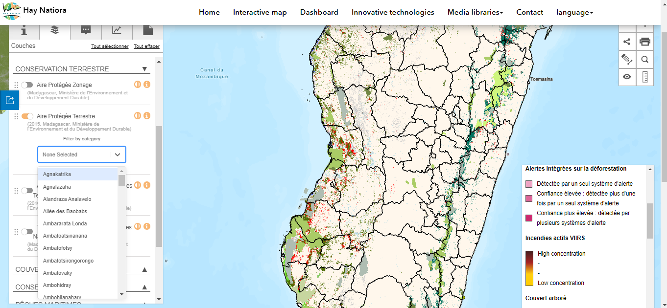
Hay Nationa - Madagascar
The Hay Natiora multisectoral portal allows users to access a wide range of resources on the terrestrial ecosystem such as forests and protected areas, the coastal ecosystem and fisheries, as well as land and planning, through an information system linking geo-referenced databases.
It provides applications to conduct various spatial analyses with interactive maps, and thematic documents, ranging from a multidisciplinary legal repertoire (laws, ordinances, decrees, conventions, national policies and strategies, etc.), through guides and technical training modules (sustainable vanilla, reforestation, advocacy, etc.), to documents from other sectors (agriculture, tourism, mining, etc.).

